Inglis Falls Conservation Area
Difficulty: (Easy / More Difficult)
Length: 3 km
The Pines Loop (all other trails hiking only) is mainly flat terrain with some rocky sections winding through hardwood and pine plantations.
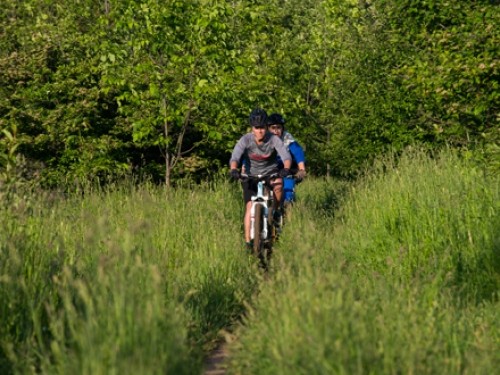
Inglis Falls Conservation Area
Difficulty: (Easy / More Difficult)
Length: 3 km
The Pines Loop (all other trails hiking only) is mainly flat terrain with some rocky sections winding through hardwood and pine plantations.
This is an extensive natural area where the forest includes stands of sugar maple, pine, spruce, and cedar. Wetland communities add to the diversity, and Black Lake offers fishing for bass. Gravel-based loop trails with some moderately steep hills. Trail runs along the north edge of the property, with cycling and hiking trails in the interior.

Upland hardwood forest and conifer plantations cover rugged terrain and provides many scenic views of the surrounding landscape. Wide trails on rolling terrain with some sandy areas. Due to recent ATV activity these trails have become somewhat eroded and much underlying coarse rock has been turned up resulting in difficult sections.
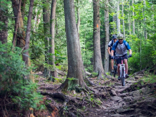
This busy trail system caters to a variety of users including hikers and equestrians. Moderately technical singletrack through rolling mixed forest with some sandy areas and some good technical descents.