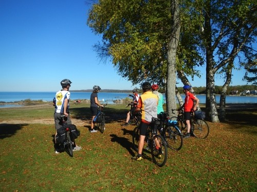
Kolapore Uplands Wilderness Trails
Difficulty: Moderate/More Difficult
Length: 50 km
This is primarily a cross-country ski trail system, but in summer, mountain biking is allowed on most of the trail system. There are several trails that run through sensitive wetland areas which are not suitable for any summer use. Maps of the trails are available at the Ravenna Country Market ($5) and are essential because the trails are a complex network with numerous intersections. These maps are a reference only. Conditions can change quickly, which means that new obstacles can occur or trails may not be passable. There are a substantial number of hikers on the Kolapore trails; riders must be prepared to share the trail. The terrain in this area is extremely rugged and remote and not maintained for biking; For more information about the Kolapore trails check out: www.kolaporetrails.org
Discover More Trip Ideas
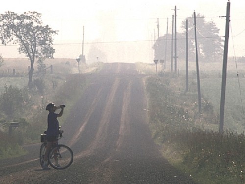
This ourt displays the contrast between the west and east shores of Owen Sound, since many of the roads are not paved and because of the Land Force Training Centre you cannot travel around the full peninsula.
Enjoy the views of Geogian Bay as you ride the Blue Mountain Gondola up the Niagara Escarpment. The rest of the route is like a roller coaster, cruising downhill past agricultural lands, passing orchards along the way.