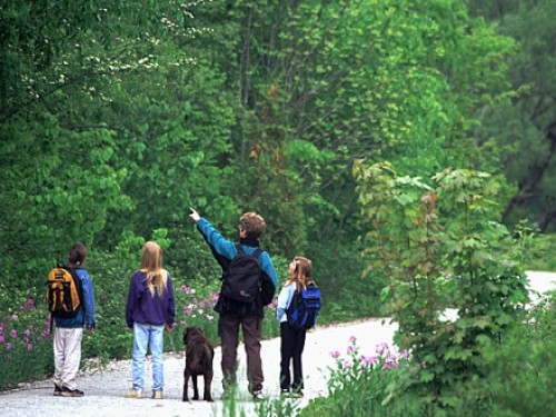
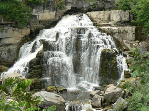
The Beaver River, navigable from Kimberley to Heathcote is a popular paddling route. Named for the many Beaver found along its 40 kilometres, this river was used as a transportation route during the 19th century. Three sections on the Beaver feature rugged scenery, wildlife including great blue heron, great horned owl, white-tailed deer and of course the beaver, as well as angling opportunities. Distances range from 6 kilometres to 15 kilometres but timing varies based on the fluctuating water levels. Access is available at Grey Road 13 north of Kimberley, Epping side road and at Heathcote.

River Paddling and Tubing Safety Tips
- Let someone know where you are going, the route you are taking, and when you expect to return. If you are not an experienced paddler, we suggest using one of our Paddling outfitters to guide you or give lessons.
- Monitor the weather. Check the forecast before leaving and prepare for rain even if you don't think it will.
- Monitor river conditions and water flow. The flow changes throughout the season, and even day to day depending on rainfall. A two-hour paddle in spring could be a five-hour paddle in the summer or fall.
- Dress appropriately for the weather. Wear quick-drying clothing (not cotton!) made of material that retains heat even when wet, to help you stay warm and dry.
- Carry a cell phone or radio in dry bag for emergency communication, but keep in mind you may not have service in a river valley or remote area.
- Carry plenty of food and water. Drink fluids frequently to avoid dehydration.
- Never paddle alone. Paddling in a group is safest. If you are in a group, stay within visual or verbal contact if possible.
- Always wear a life vest. It’s hard to judge how swiftly moving water is flowing, which is why authorities always recommend you – and specially your children – always wear a life vest.
- Scan ahead for hazards like fallen or overhanging trees, rocks, or rapids and know how to paddle around or avoid them. If it appears too challenging, plan to exit the river and portage around these hazards.